Askja Trail
Description
The hiking trail across Ódáðahraun, from Herðubreiðalindir in the east to Svartárkot in Bárðardalur valley in the west, has been called Öskjuvegurinn (Askja Trail). This is a real wilderness hike over the country's largest continuous lava field, with a visit to many of Iceland's main highlights, such as Herðubreiðalindir and Askja.
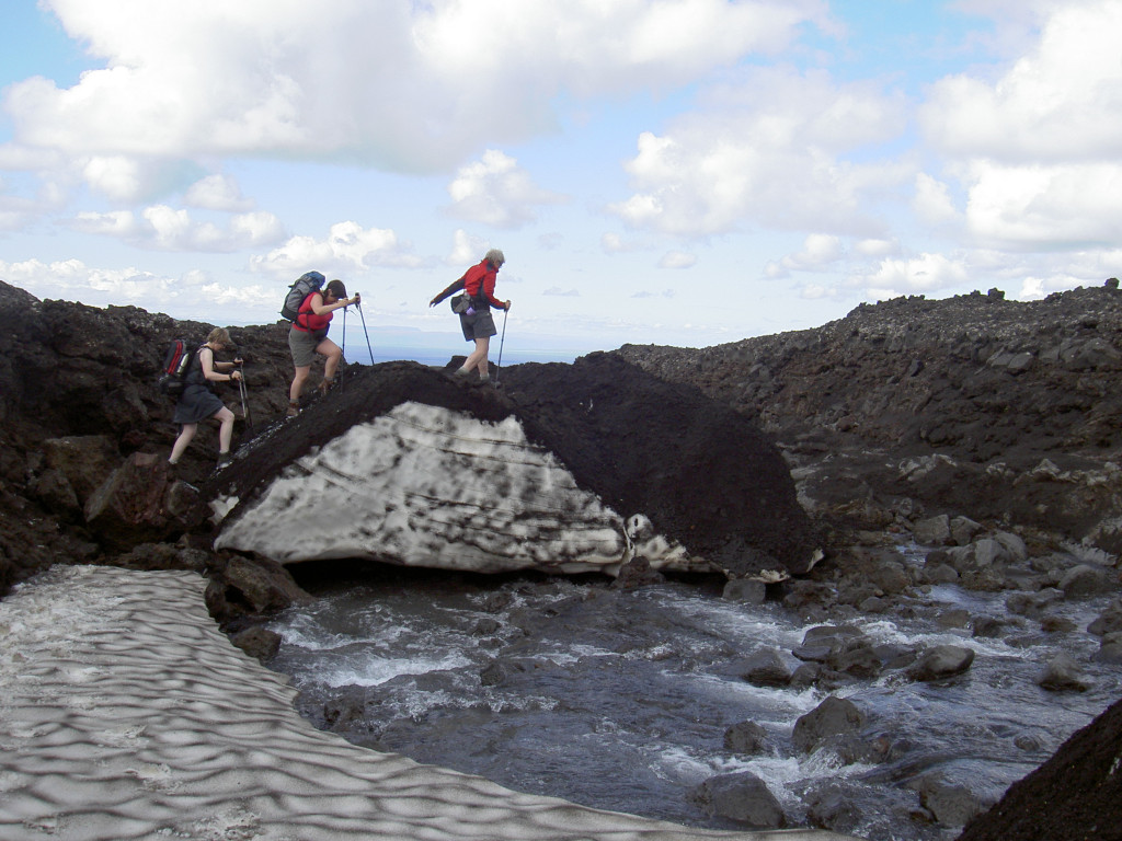
The trail reaches its highest point at about 1300 meters above sea level in the Dyngjufjöll Mountains where, even during high summer, there can be a snow storm with very low visibility. A good outfit with, a map, compass and GPS device is therefore necessary. In addition, the trail goes over rough lava, so good walking boots with coarse and strong soles are strongly recommended.
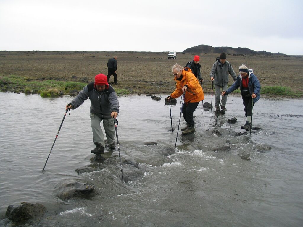
Drinking water is scarce on the Askja Trail, except in the cabins. Therefore, hikers need to carry their daily drinking water. It is Ferðafélag Akureyrar (Akureyri Touring Association, FFA) which has built this hiking trail and the cabins.
Huts on the trail
Five huts are situated along the hiking trail, all owned and operated by Ferðafélag Akureyrar (Akureyri Touring Association, FFA). Þorsteinsskáli in Herðubreiðalindir houses 30 people. Bræðrafell stands at the south end of Kollóttadyngja, where 16 people can stay. At Drekagil in Askja FFA has four houses with accommodation for 55 people. Dyngjufell in Dyngjufjalladalur, northwest of Dyngjufjöll houses 16 people, and the same number can stay in the Botnar hut, which is near the source of the river Svartá.
In which direction?
Traditionally the hiking trail is walked from east to west, but it can as easily be hiked in the reverse direction.
Herðubreiðarlindir-Svartárkot
Herðubreiðarlindir-Bræðrafell
19 km. 5-6 hrs. Ascent 240m
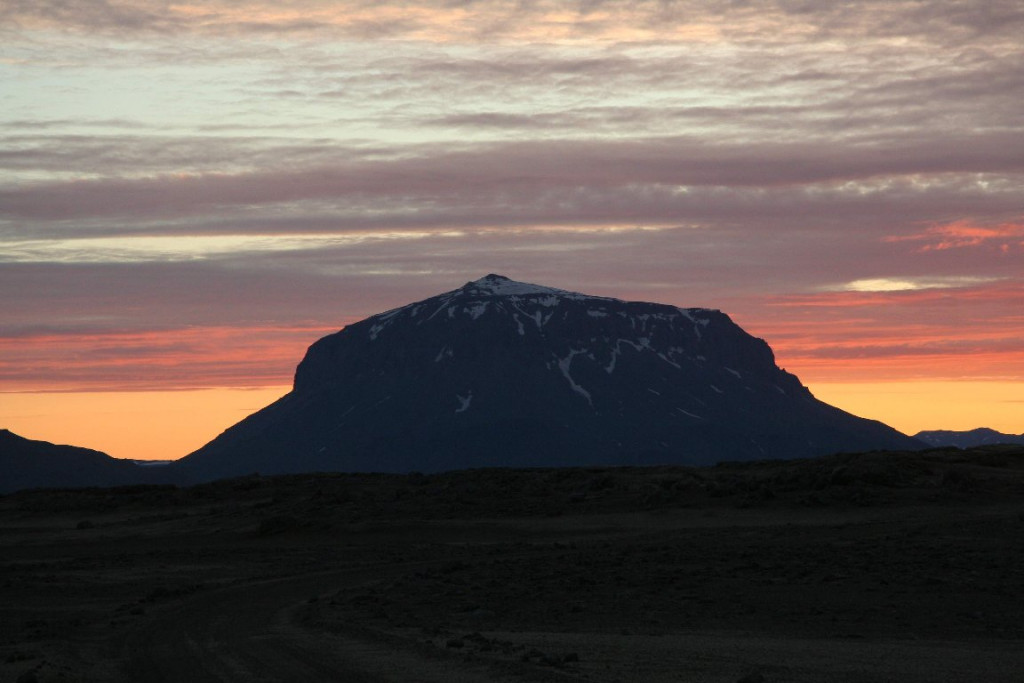
From Herðubreiðalindir the route crosses a lava field with holes almost full of sand, west to Herðubreið, which is widely regarded as the queen of Icelandic mountains.
The route goes between the slope of the mountain Herðubreið and the lava field. It leads west of the mountain to a parking lot, which is a starting point of the hike up to Herðubreið. From there, the road leads west over Flatadyngja. On top of Flatadyngja is a very interesting crater. West of Flatadyngja the trail leads to the hut in Bræðrafell mountain. It stands on the east side of the mountain.
Bræðrafell-Dreki
20 km. 6-7 hrs. Ascent: 60m
We follow a route south of the cabin in Bræðrafell, over two lava mounds and up to the eastern side of Dyngjufjöll. Now the trail is between the slope and the lava east of Stórukista and Litlakista and up to the lava field that has emerged from the volcano Askja. We walk east of the lava from the eruption in Askja in 1961 until we reach a mountain road (F910), south of the lava field, between Herðubreiðarlindir and Drekagil. The road is followed to the cabin in Drekagil.
Dreki-Dyngjufell
20 km. 8-10 hrs. Ascent: 500 m
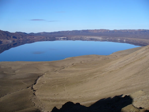
In a cloudy weather, follow the road from Dreki to the parking lot at Vikraborgir in Askja. There you can leave the backpack and follow a clear path south to Víti and Öskjuvatn. In bright weather, however, the hike from Dreki directly west over the mountains north of Drekagil and up to the eastern edge of Askja, is very enjoyable. From the edge of Askja there is a stunning view over Askja and the Öskjuvatn lake. From the eastern part of Askja, you descend to the caldera east of Öskjuvatn lake to Víti. There is a cairn dedicated to two German men, Rudolf and Knebel who lost their lives not far from Víti in 1907.
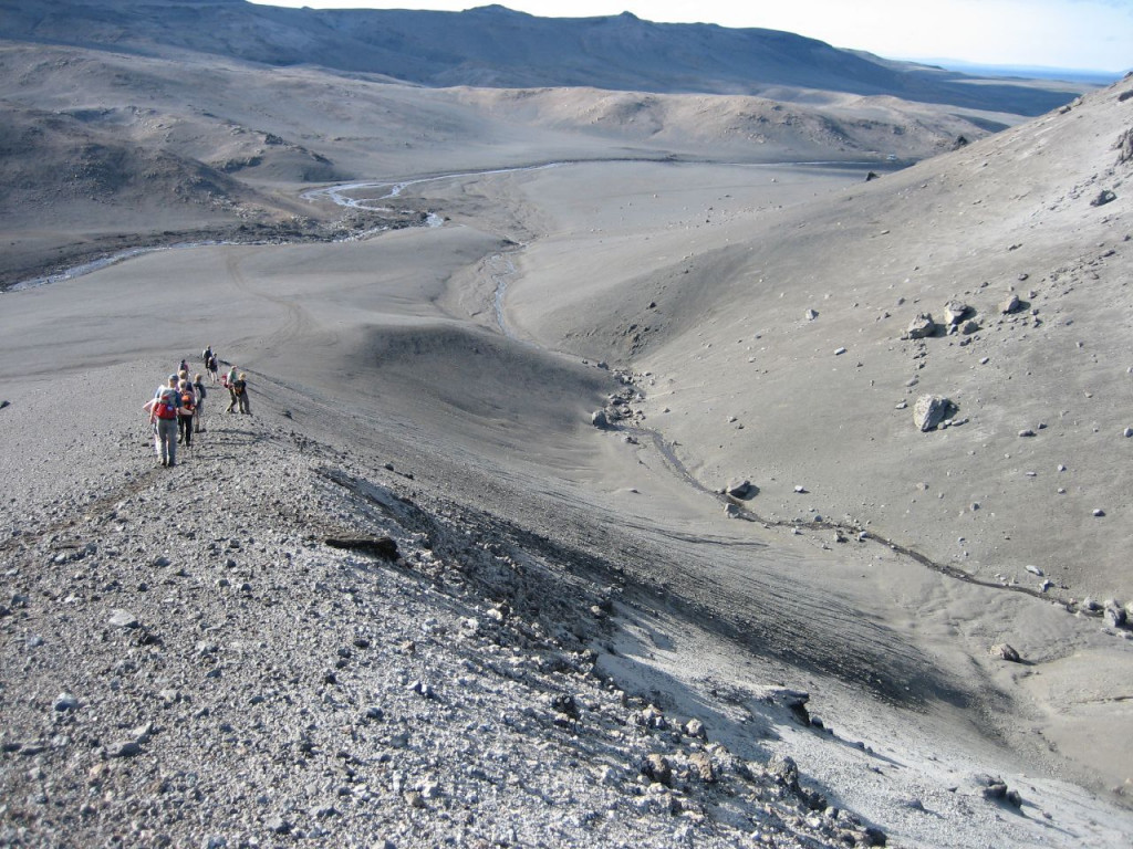
Now we follow the path to the parking lot at Vikraborgir. From the parking lot, the route heads northwest over rough lava from 1961. Then west between a lava field and a slope, the northernmost side of Askja, to Jónsskarð. Here, a staked route begins (GPS N 65 ° 04.51 '- V 16 ° 49.07') heading northwest over Jónsskarð. From the slope is a great view, both south over Askja to Kverkfjöll and Vatnajökull, and also north over Ódáðahraun to Bláfjall and Sellandafjall. Northwest of Jónsskarð there are stakes and cairns down to the Dyngjufell hut in Dyngjufjalladalur valley.
Many spend an extra day in Askja and enjoy the interesting surroundings.
Dyngjufell-Botni
22 km. 6-8 hrs. Descent
The trail follows a staked jeep trail north from the Dyngjufjalladalur valley. We walk on sandpit lava and sand and soon we see the beautiful mountains Bláfjall, Kollóttudyngja, Herðubreið and Trölladyngja. About 13 km north of Dyngjufell, turn left of the jeep trail (GPS N 65 ° 13,69 '- 16 ° 58,83'). After that, there is an unclear trail over helluhraun (pahoehoes) just east of the rough and rubbly Aa Frambruni Suðurárhraun lavafield. The trail leads north to Botnar about 650 m south-southeast of the origin of Suðurá river.
Botni-Svartárkot
16 km. 5-6 hrs. Descent
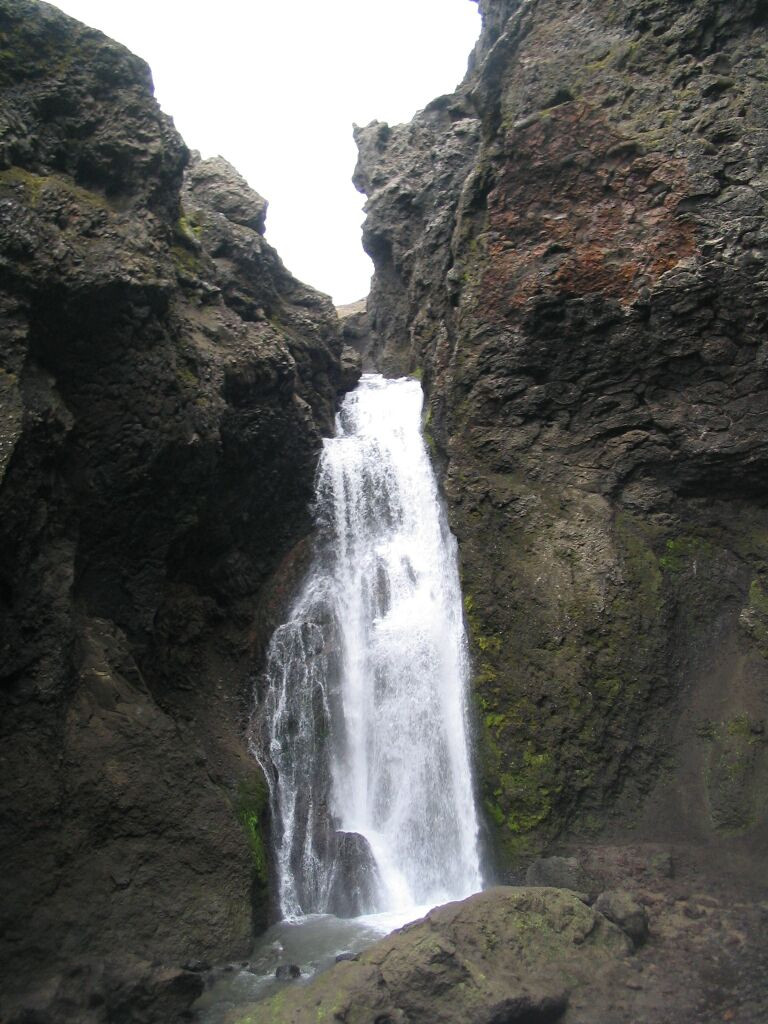
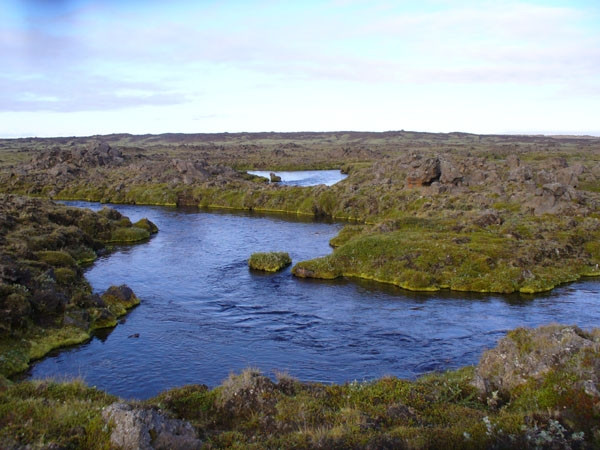
An old jeep trail is followed from Botnar north-northwest to the Efstilækur creek, where silver clear water bubbles up from the lava. Here we suddenly come to a vegetated area, after the desert of Ódáðahraun lava. The route lies east of the cold springs to Botnatóft and to the ruins of Botnakofi, an old cabin for people rounding up sheep. From there the trails heads downstream Suðurá to Stóruflesja cabin, where people from Mývatnssveit stay in the fall when they round up the sheep in the area.
South-southeast from Svartárkot the trail turns from Suðurá river and north to Svartárvatn lake, where numerous springs with cold water spring out from the edge of the lava fields directly into the lake. The walk ends at the farmyard in Svartárkot.