Kjalvegur the old
Description
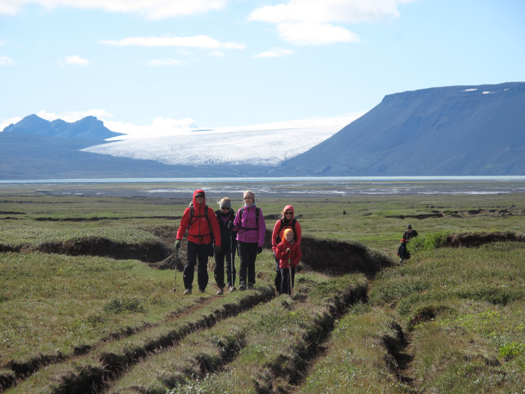
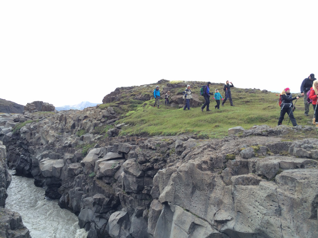
The old Kjalvegur hiking trail lies between Hveravellir and Hvítárnes along Kjölur. It is the area between the glaciers Langjökull on the west side and Hofsjökull on the east side.
Driving across Kjölur does not give the right impression of the area as there is very little vegetation where the main road crosses. Before the time of cars, when everybody used horses to get from one point to an another, the main trail was further west near the glacier Langjökull, where there is much more vegetation, grass, flowers and even small birches. This area is called the old Kjalvegur trail.
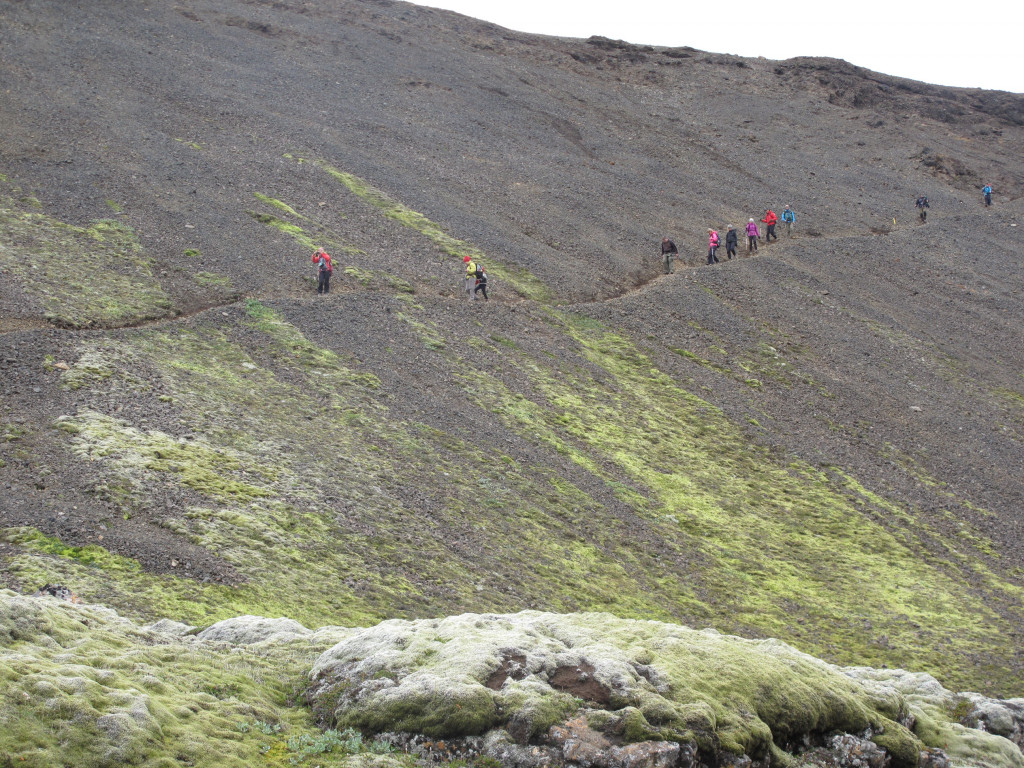
Generally, the route is easy to pass. Stakes and cairns mark most of the route making it unlikely to get lost on the way. It is a good trail for beginners.
Hveravellir - Þjófadalir
12 km. 4-5 hours.
Before starting the hike from Hveravellir, it is highly recommended to explore the area, as there are few places in the world with such a variety of hot springs. You should also take the opportunity to bathe in the small pool east of the oldest hut — it is incredibly relaxing.
From Hveravellir there are two trails to choose from. One trail partly follows a track leading first southwest to Stélbrattur and then south to Sóleyjardalir and Þröskuldur. From Þröskuldur there is a beautiful view over the valley, with the small hut nestled in its center.
The other trail leads due south towards Strýtur, the highest point of Kjalhraun, from there, the route heads west until you reach Þröskuldur. This trail is harder to navigate.
No one should miss the opportunity to hike to Rauðkollur, the highest peak (1075 m) in the area. The view from the summit is magnificent, overlooking the Kjölur area and stretching east towards Kerlingarfjöll.
Accommodation in Þjófadalir
- The hut: The hut accommodates 12 people. In the entrance there is a small kitchen, with gas burners and simple cooking gear. There is no running water in the hut, so water must be fetched from a small stream nearby. The outhouse is near the hut.
- The campsite: There is plenty of space for camping by the hut.
You will need to pack out all of your garbage.
Þjófadalir - Þverbrekknamúli
14 km. 5-6 hours.
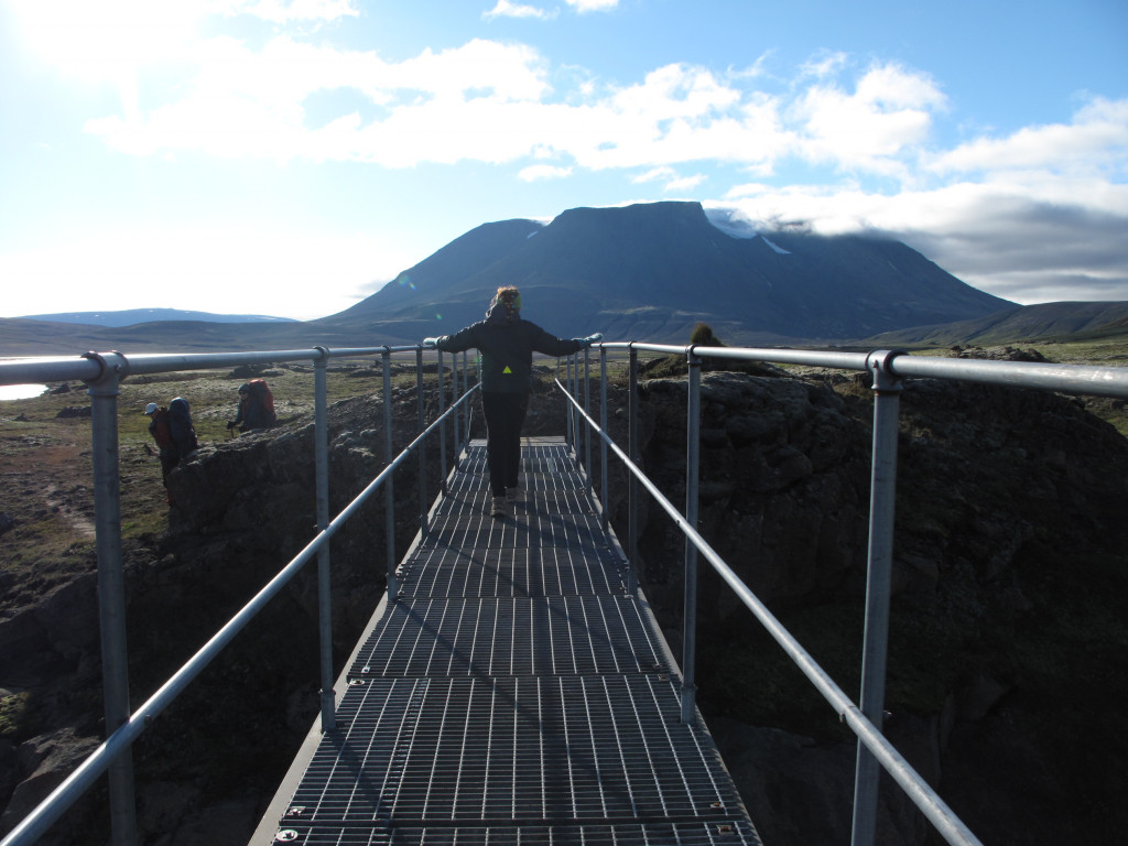
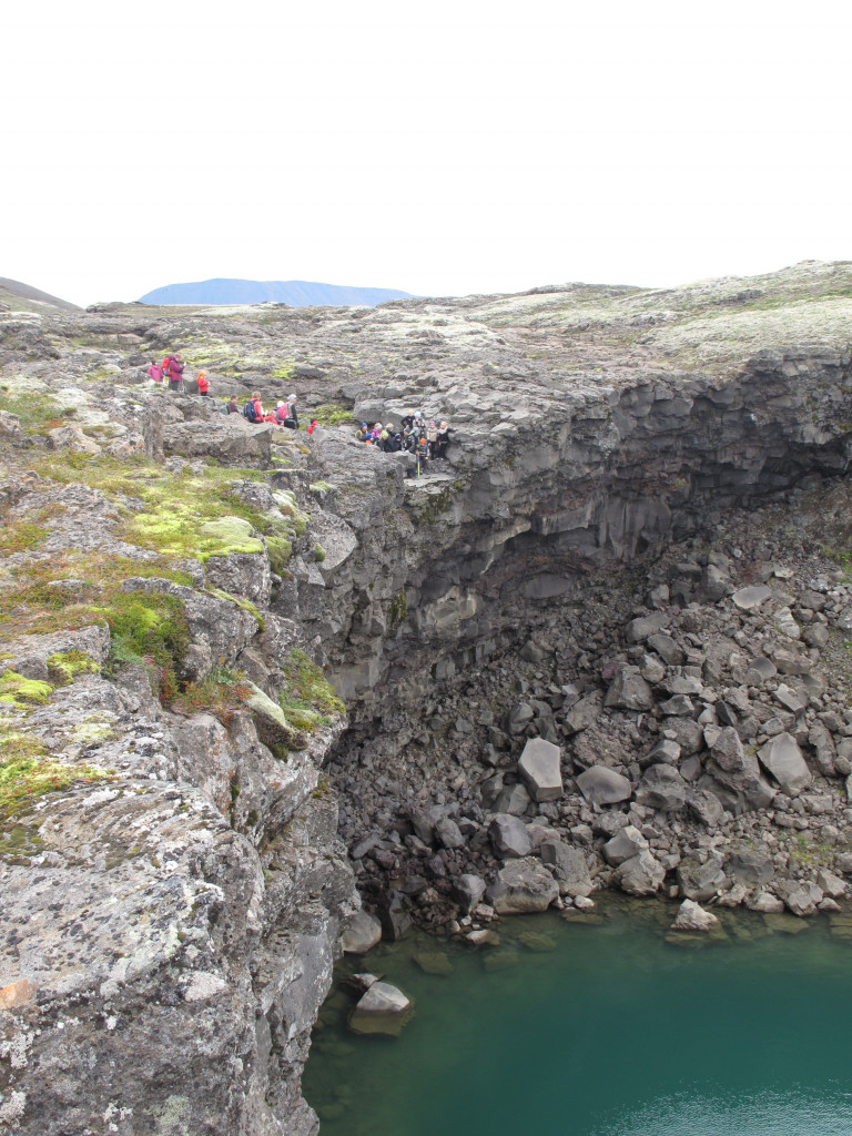
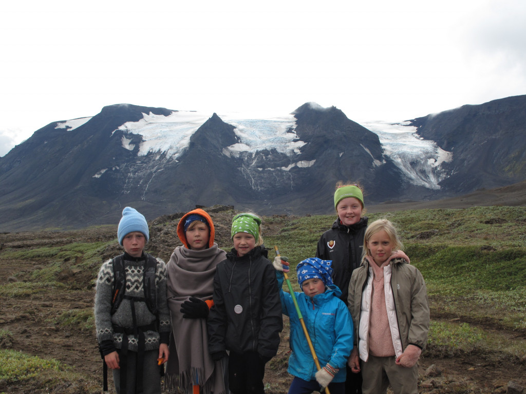
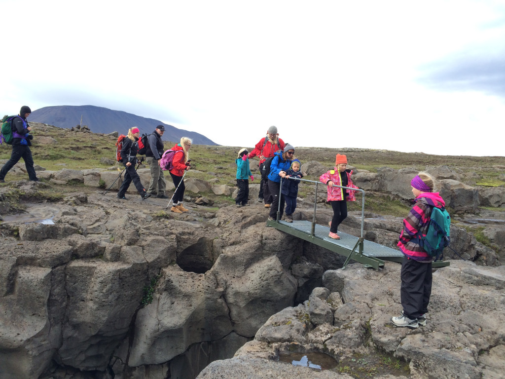
Now the route heads southeast out of the valley of Þjófadalir. The Kjalhraun lava field lies to the left, and before long the river Fúlakvísl appears on the right-hand side. The view towards Hrútfell, south of Fúlakvísl, is magnificent. From the summit of the mountain, outlet glaciers descend gracefully down its slopes.
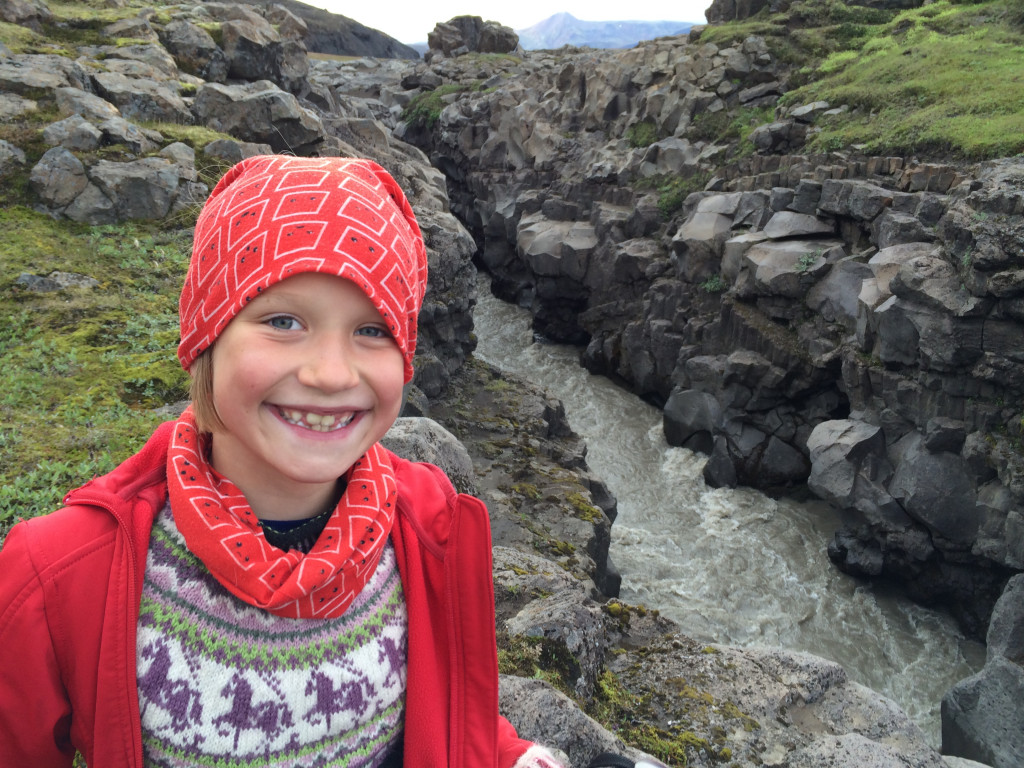
Fúlakvísl flows through a narrow canyon, crossed by a small footbridge. From the bridge, the trail continues over the hills known as Múlar and onwards to the hut at Þverbrekknamúli. Alternatively, you can follow the river downstream and cross it via another bridge located east of the hut in Þverbrekknamúli.
Accommodation in Þverbrekknamúli
- The hut: The hut accommodates 20 people. The kitchen is equipped with gas stoves, utensils and cold water can be pumped to the sink. The bathroom is near the hut.
- The campsite: There is plenty of space for camping by the hut.
You will need to pack out all of your garbage.
Þverbrekknamúli - Hvítárnes
15 km. 5-6 hours.
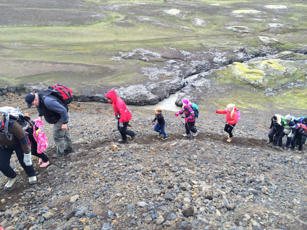
The trail continues east until crossing the bridge over the river Fúlakvísl. From there, it turns southwest, following the river until reaching the area south of Hrefnubúðir. Much of this section passes through lush vegetation, often along deep tracks formed by horse traffic.
Alternatively, a longer route leads through Þverbrekkur and down into the valley of Innri-Fróðárdalur. Here, the importance of water for the surrounding vegetation becomes especially evident. Descending into Fremri-Fróðárdalur, the trail passes through a small mountain pass. It is important to keep the river Fróðá on your right-hand side while crossing the pass along the slopes of Rauðafell. From there, it is a short hike to the glacial lake Hvítárvatn. To reach the hut at Hvítárnes, the river Fúlakvísl must be forded several times, as it divides into numerous smaller streams. The surrounding area is largely marshland, making it quite difficult to cross without getting your feet wet. This alternative is unmarked.
Accommodation in Hvítárnes
- The hut: The hut accommodates 30 people. The kitchen is equipped with gas stoves, utensils and cold running water. The bathroom is near the hut.
- The campsite: There is plenty of space for camping by the hut.
You will need to pack out all of your garbage.
Book accommodation
Booking ahead ensures you have a guaranteed place to stay each night of your trek. Camping is possible by all our huts. The huts provide basic dormitory-style accommodations with shared facilities, including kitchens and bathrooms.
Book Kjalvegur accommodation: Book accommodation
Equipment, safety and planning
Hiking the old Kjalvegur trail is an adventure. However, the key to a safe and enjoyable experience lies in thorough preparation. Proper gear is essential; the unpredictable Icelandic weather demands high-quality, waterproof clothing, sturdy hiking boots, and a reliable backpack. Additionally, planning your route and understanding the terrain can prevent mishaps and ensure you stay on track. Preparation also includes packing sufficient food, water, and emergency supplies. By investing time in these aspects, you not only enhance your safety but also maximize the enjoyment of this breathtaking journey.
Gear
Clothing
- Layered Clothing: The weather can change rapidly, so it's crucial to have layers. Include a moisture-wicking base layer, insulating mid-layer, and a waterproof outer layer.
- Hiking Boots: Sturdy, waterproof boots are essential for the varied terrain, including rocky paths, snow-covered sections, and river crossings.
- Hat and Gloves: For warmth and protection against the elements. A buff or neck gaiter can also be a good idea.
- Socks: High-quality, moisture-wicking socks to keep your feet dry and comfortable.
- River crossing shoes: Lightweight sneakers that dry quickly or sandals are a popular choice.
Camping Gear (if camping)
- Tent: Lightweight and weather resistant.
- Sleeping Bag: Suitable for cold temperatures.
- Sleeping Pad: For insulation and comfort.
- Cooking Equipment: Portable stove, fuel, and cooking utensils.
Personal Items
- Backpack: A 50-60L backpack. If camping, you may need to bring a 60-70L pack.
- Water Bottle/Hydration Pack: Staying hydrated is crucial.
- Food: While hiking, you will need more energy than usual. Make sure to have enough food.
- Navigation: GPS device, map and compass.
- First-Aid Kit: Including blister treatment and any personal medications.
- Multi-tool: Handy for various tasks.
- Headlamp/Torch: For visibility at night.
- Dry Bags: To keep your gear dry.
- Sunglasses and sunscreen: Rain is common in the highlands, but so is sun!
- Toiletries: Toothbrush, toothpaste, soap and perhaps a small towel if you plan to shower. Earplugs may also come in handy.
- Dry clothes: It can rain a lot on the trail and your raingear may not be able to keep up with Icelandic weather. An extra set of dry clothes is recommended.
Miscellaneous Gear
- Trekking Poles: Helpful for stability on uneven terrain.
- Repair kit: If any of your gear is damaged.
- Camera: To capture memories from the trail.
Navigation and trail markings
The whole trail is well marked and the danger of getting lost is minimal. However, in bad weather and fog, when visibility is close to zero, everything will change. It is important to know how to navigate and bring the right tools for it.
Which direction to hike?
It does not make a big difference which direction you choose. The altitude is almost the same all the way, no relevant ascent nor descent. Many choose to start in Hveravellir, so that they walk towards the beautiful glaciers on the northern side of Hrútfell and have a view over the glacial lake Hvítárvatn on the final day.
Phone signal
Phone connection can be unstable on the trail and you might have go to the nearest hilltop to find a network.
You will not be able to connect to WiFi in the huts, but may find a few spots along the trail where a 4G connection is possible.
When is it open?
Access and passage on the trail vary from year to year depending on weather, snow conditions and when the Icelandic Road Authority opens the roads
On average one can assume that the trail is open from June 20 to September 10.
How do I get there?
No buses operate on Kjölur, so hikers must come by car. Both Hveravellir and Hvítárnes can be reached with 4x4 cars. The road can be very rough at times.
Many people park their car in one of these locations and hike a part of the trail and then back again.
Respect the nature
Those who hike the old Kjalvegur trail do so to experience the spectacular nature along the trail. The Icelandic environment is very fragile and all hikers must exercise great care and respect for the nature.
Please stay on the trail, only pitch your tent in designated camping grounds, avoid stepping on the fragile moss or leave marks or trails where there are none. It only takes one set of footprints for many more to follow.
We emphasize that nothing can be left in nature, neither organic leftover food nor toilet paper. The general rule is to leave nothing but footprints on the trail and take nothing but pictures and memories.